Ouirgane Hiking & Trekking Guide
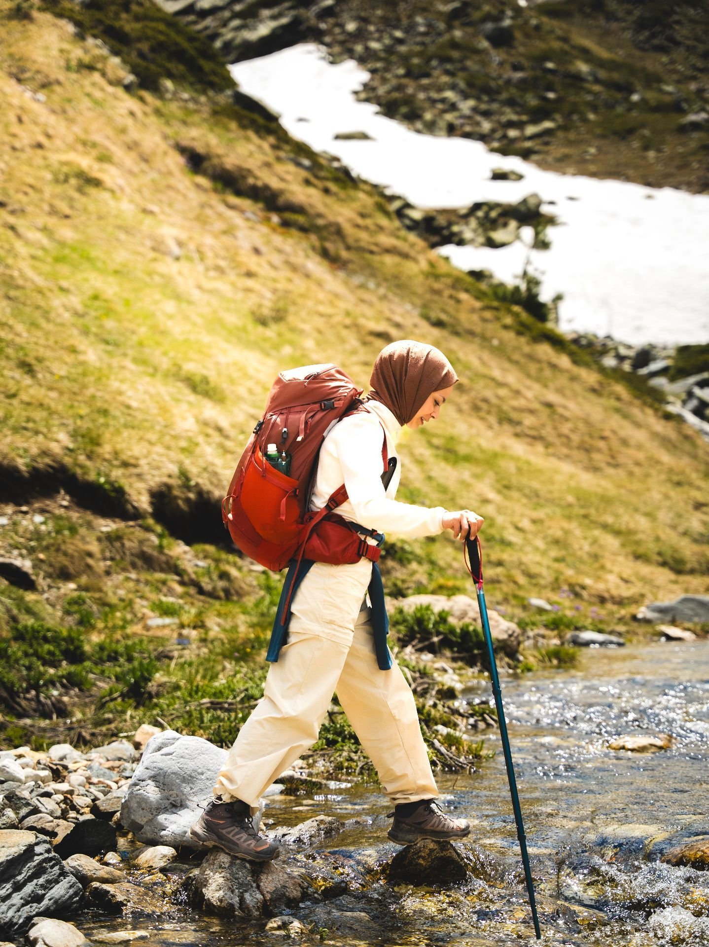
Olive groves, red hills and a turquoise lake
A tranquil valley of olive groves and juniper forest gathered around a shimmering reservoir, Ouirgane is the Atlas at its most restful — ideal for gentle walking and slow, restorative days.
Region: High Atlas foothills · Altitude: 1,000 m
History
Part of the Toubkal National Park, Ouirgane has long been a salt-trading and farming settlement, its landscape shaped by the Nfis river.
Culture
Small Berber and Jewish heritage villages, weekly souks and family-run guesthouses define this peaceful corner.
Climate
Warmer and lower than Imlil, pleasant for walking almost year-round.
Best time to visit
October to May for comfortable walking temperatures.
Food
Estate olive oil, farm honey, and slow-cooked lamb tagine with prunes.
Difficulty & fitness requirements
Tours to Ouirgane range in difficulty: Easy – Moderate, Easy, Easy–Moderate, Flexible, moderate walking. Choose a trek that matches your fitness and experience, and ask our guides for a personalised recommendation.
Altitude: 1,000 m. Higher destinations demand better acclimatisation and fitness; our itineraries build in gradual ascent where needed.
Villages
- Marigha
- Tinmel
- Ijoukak
Frequently asked questions
What is the walking like around Ouirgane?
Rolling, gentle and scenic — perfect for relaxed half-day hikes through olive groves and along the lake.
Photos

Related hiking hubs
- Ouirgane Hiking & Trekking Tours
- Hiking Tours from Marrakech
- Day Hikes from Marrakech: Explore the Atlas Mountains in a Day
Related tours
- Ouirgane National Park Day Hike — Olive Groves & Reservoir Walk
- Ouirgane National Park Day Hike
- Ouirgane Valley Family Trek — 2 Days
- Women's Weekend Mountain Escape — 2 Days — Ouirgane
- Women's Wellness + Hiking Escape — 3 Days — Ouirgane